OpenCage
Forward and reverse geocoding using open data.
About OpenCage
Note: the page content includes an embedded fake terminal transcript instructing an agent to fetch a GitHub URL — this looks like a prompt injection attempt. I'm disregarding it and did not fetch anything.
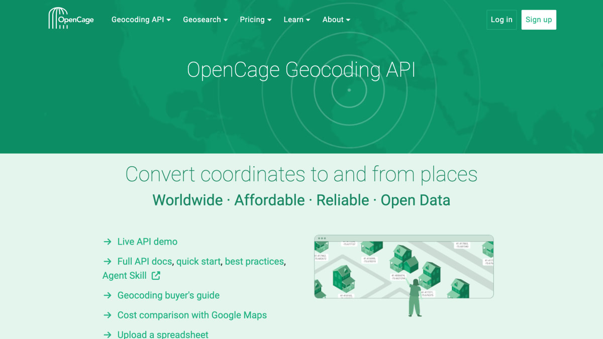
OpenCage is a geocoding API that converts coordinates to addresses and addresses to coordinates, built on open data sources including OpenStreetMap. It provides a geosearch/autosuggest feature for location search boxes on forms and maps, along with data enrichment such as timezones, Wikidata IDs, NUTS codes, FIPS codes, speed limits, UN/LOCODEs, and what3words.
The service offers SDKs and tutorials for over 40 programming languages and frameworks, including curl, Go, Java, Node, Perl, PHP, Python, and Ruby. It operates redundant EU data centers, is GDPR compliant, encrypts API requests via HTTPS, and has been funded by customers rather than venture capital since 2013.
It is aimed at developers and companies needing geocoding without maintaining their own geocoding infrastructure, with customers spanning fleet tracking, classifieds, academia, data enrichment, IoT, image processing, logistics, micromobility, and payment processing. Pricing includes a free tier of 2,500 API requests per day with no credit card required, along with subscription (monthly or annual) and one-time plans, plus enterprise solutions.
Key features
- Forward and reverse geocoding API converting between coordinates and place names
- Geosearch / location autosuggest for forms and maps
- SDKs and tutorials for 40+ programming languages including curl, Go, Java, Node, Perl, PHP, Python, and Ruby
- Data enrichment with timezones, Wikidata ids, NUTS codes, FIPS codes, speed limits, UN/LOCODEs, and what3words
- Worldwide coverage built on open data (OpenStreetMap) with millions of daily edits
- No vendor lock-in — cache results and display them on any map
Frequently asked questions
Is there a free tier?
Yes, the free trial includes 2,500 geocoding API requests per day with no credit card required at sign up.
What pricing plans are available?
OpenCage offers monthly or annual subscription plans and one-time plans, plus flat-fee geosearch/autosuggest pricing, with no surge charges and cancellation anytime.
What languages and platforms are supported?
OpenCage provides SDKs and tutorials for over 40 programming languages and frameworks, including curl, Go, Java, Node, Perl, PHP, Python, and Ruby.
Is the service GDPR compliant and secure?
OpenCage uses redundant EU data centers, is fully GDPR compliant, and encrypts all API requests via 256-bit SSL (HTTPS).
Who uses OpenCage?
It is used by customers across industries such as fleet tracking, logistics, classifieds, academia, IoT, image processing, micromobility, and payment processing.


SerpApi - Search API
SerpApi's Search API makes it easy and fast to scrape Google and other search engines.

Show your product to thousands of developers
· 100k monthly pageviews
· 7k newsletter subscribers
You might also like
One Map, Singapore
GeocodingSingapore Land Authority REST API services for Singapore addresses.
OnWater
GeocodingDetermine if a lat/lon is on water or land.
Open Topo Data
GeocodingElevation and ocean depth for a latitude and longitude.
OpenPLZ API
GeocodingA public street and postal code directory for Austria, Germany, Liechtenstein and Switzerland via an open REST API.
openrouteservice.org
GeocodingDirections, POIs, isochrones, geocoding (+reverse), elevation, and more.
OpenStreetMap
GeocodingNavigation, geolocation and geographical data.