OnWater
Determine if a lat/lon is on water or land.
About OnWater
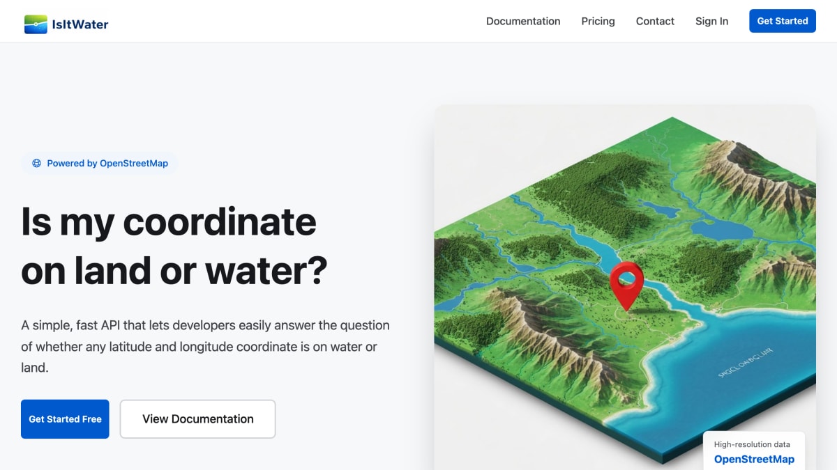
OnWater (also branded IsItWater) provides an API that determines whether a given latitude and longitude coordinate is located on land or water. Requests are sent with a coordinate pair and return JSON indicating whether the point is water, along with feature tags such as the body of water type. The underlying data is sourced from OpenStreetMap.
Pricing is pay-as-you-go with no subscription required: accounts start with 1,000 free credits, and additional credits can be purchased starting at $1 for 2,500 API calls, with rates as low as $0.15 per 1,000 calls. Credits do not expire, and optional auto-recharge is available. Free access is offered to non-profits, educational institutions, and publicly-funded research projects.
The product is aimed at developers who need to programmatically check coordinate location relative to water or land, such as for mapping, geospatial validation, or location-based applications.
Key features
- Determines whether a given latitude/longitude coordinate is on land or water
- Returns instant JSON responses via a simple REST API
- Uses high-resolution OpenStreetMap data
- Identifies specific water features (e.g. ocean) in results
- Pay-as-you-go credit system with no subscription required
Frequently asked questions
Is there a free tier?
Yes, new signups receive 1,000 free API credits.
How is it priced?
It uses pay-as-you-go credits starting at $1 for 2,500 API calls, with no monthly subscription and credits that never expire.
What data does it use?
It uses high-resolution map data from OpenStreetMap and Protomaps.
How do I make a request?
Send a GET request with latitude and longitude parameters and a Bearer API key to the /v1/locations/water endpoint, and receive a JSON response indicating whether the point is water.
Is free access available for non-profits or research?
Yes, free access is available for non-profits, educational institutions, publicly-funded research, and other qualifying projects.


SerpApi - Search API
SerpApi's Search API makes it easy and fast to scrape Google and other search engines.

Show your product to thousands of developers
· 100k monthly pageviews
· 7k newsletter subscribers
You might also like
Mexico
GeocodingMexico RESTful zip codes API.
Nominatim
GeocodingProvides worldwide forward / reverse geocoding.
One Map, Singapore
GeocodingSingapore Land Authority REST API services for Singapore addresses.
Open Topo Data
GeocodingElevation and ocean depth for a latitude and longitude.
OpenCage
GeocodingForward and reverse geocoding using open data.
OpenPLZ API
GeocodingA public street and postal code directory for Austria, Germany, Liechtenstein and Switzerland via an open REST API.