Open Topo Data
Elevation and ocean depth for a latitude and longitude.
About Open Topo Data
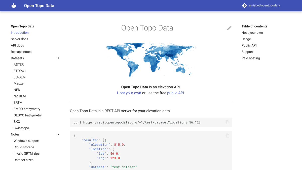
Open Topo Data is a REST API server for elevation data. It can be self-hosted using Docker with a user's own raster datasets, or accessed through a free public API hosted at api.opentopodata.org that comes pre-configured with several open elevation datasets, including NZ DEM, NED, EU-DEM, Mapzen, ASTER, SRTM, BKG, ETOPO1, GEBCO, and EMOD bathymetry, covering different regions and resolutions. The API has a single point-query endpoint that returns elevation for one or multiple locations, supports Google Polyline format for input, and offers configurable interpolation algorithms; it is largely compatible with the Google Maps Elevation API.
The public API is rate-limited to a maximum of 100 locations per request, 1 call per second, and 1000 calls per day. Self-hosting supports a wide range of raster file formats and tiling schemes, with configuration options for adding datasets and running on Windows and M1 Macs.
The product is aimed at developers who need elevation data for geographic coordinates, either through self-hosted infrastructure or a free hosted service. For higher-resolution needs, the same maintainer offers a paid sister project, GPXZ, which provides managed hosting with global 1m lidar data, a drop-in replacement for the Google Maps Elevation API, priority support, no hard usage limits, EU-only server options, and CORS support for frontend use.
Key features
- REST API for elevation data at single points or batches of points
- Self-hostable via Docker with your own raster datasets
- Supports a wide range of raster file formats and tiling schemes
- Configurable interpolation algorithm and Google Polyline location input
- API compatible with the Google Maps Elevation API
- Free public API preconfigured with multiple open elevation datasets
Frequently asked questions
Is there a free tier?
Yes, there is a free public API at api.opentopodata.org, limited to 100 locations per request, 1 call per second, and 1000 calls per day.
Can I self-host it?
Yes, you can self-host using Docker and git, running your own raster datasets on a local server.
Is it compatible with other elevation APIs?
Yes, it is largely compatible with the Google Maps Elevation API.
What elevation datasets are available on the public API?
Datasets include NZ DEM, NED, EU-DEM, Mapzen, ASTER, SRTM, BKG, ETOPO1, GEBCO, and EMOD bathymetry, covering various regions and resolutions.
Is there an option for higher-resolution or managed hosting?
Yes, the sister project GPXZ offers managed hosting with 1m lidar data, load balancing, no hard usage limits, and priority support.


SerpApi - Search API
SerpApi's Search API makes it easy and fast to scrape Google and other search engines.

Show your product to thousands of developers
· 100k monthly pageviews
· 7k newsletter subscribers
You might also like
Nominatim
GeocodingProvides worldwide forward / reverse geocoding.
One Map, Singapore
GeocodingSingapore Land Authority REST API services for Singapore addresses.
OnWater
GeocodingDetermine if a lat/lon is on water or land.
OpenCage
GeocodingForward and reverse geocoding using open data.
OpenPLZ API
GeocodingA public street and postal code directory for Austria, Germany, Liechtenstein and Switzerland via an open REST API.
openrouteservice.org
GeocodingDirections, POIs, isochrones, geocoding (+reverse), elevation, and more.