openrouteservice.org
Directions, POIs, isochrones, geocoding (+reverse), elevation, and more.
About openrouteservice.org
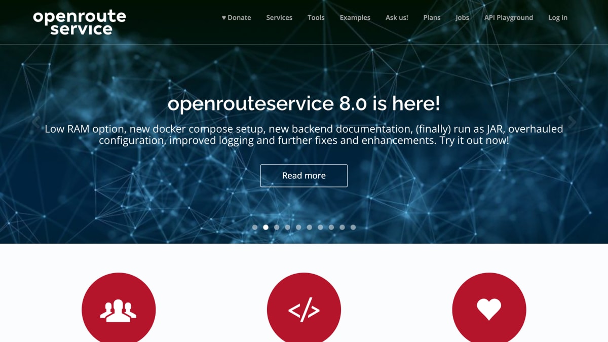
Openrouteservice is an open-source geospatial API platform built on OpenStreetMap data, developed by HeiGIT gGmbH. It provides routing and directions for cars, trucks, various bicycle profiles, walking, hiking, and wheelchair users, along with isochrones for reachability analysis, time-distance matrices for many-to-many route calculations, geocoding built on the Pelias stack, points-of-interest search, elevation data enrichment using SRTM data, and route optimization for vehicle routing problems based on the Vroom project.
The service is aimed at developers and organizations such as logistics companies, humanitarian and disaster-response actors, and researchers. It offers a disaster management client that recalculates routing graphs hourly for active disaster regions using data from the Humanitarian OpenStreetMap Team and Missing Maps project, as well as a general-purpose map client for interactive route planning. Access is available through a REST API, SDKs for Python, R, and JavaScript, and a QGIS plugin, with all code and clients open source and available on GitHub.
The isochrones service on maps.openrouteservice.org allows up to 500 requests per day for free. The platform has been used in analyses such as a New York Times investigation into subway accessibility for people with disabilities and a healthcare access study in Madagascar.
Key features
- Turn-by-turn directions for car, truck, bike, walking, hiking, and wheelchair profiles
- Isochrone reachability analysis by time or distance
- Many-to-many time-distance matrix computation
- Pelias-based geocoding for addresses and place names
- Points-of-interest search around a point, path, or polygon
- Route optimization for vehicle routing and traveling salesman problems
Frequently asked questions
Is openrouteservice free to use?
Yes, all openrouteservice APIs are free to use, and you can request up to 500 isochrones per day for free.
Is the data open source and where does it come from?
Openrouteservice is open source with code available on GitHub, and it consumes crowd-sourced geographic data from OpenStreetMap.
What SDKs and clients are available?
SDKs are available for Python, R, and JavaScript, plus a QGIS plugin, and there are classic and new VueJs-based maps clients.
What routing profiles does the directions API support?
The directions API supports cars, trucks, various bike profiles, walking, hiking, and wheelchair routing.
Who is openrouteservice for?
It serves developers building logistics, mobility, and geo-analysis applications, as well as humanitarian and disaster response organizations.


SerpApi - Search API
SerpApi's Search API makes it easy and fast to scrape Google and other search engines.

Show your product to thousands of developers
· 100k monthly pageviews
· 7k newsletter subscribers
You might also like
Open Topo Data
GeocodingElevation and ocean depth for a latitude and longitude.
OpenCage
GeocodingForward and reverse geocoding using open data.
OpenPLZ API
GeocodingA public street and postal code directory for Austria, Germany, Liechtenstein and Switzerland via an open REST API.
OpenStreetMap
GeocodingNavigation, geolocation and geographical data.
Pinball Map
GeocodingA crowdsourced map of public pinball machines.
Pointpin
GeocodingPointpin is a simple yet powerful API designed for high traffic websites to deliver fast and reliable IP geolocation for your websites and applications.