
One Map, Singapore
Singapore Land Authority REST API services for Singapore addresses.
About One Map, Singapore
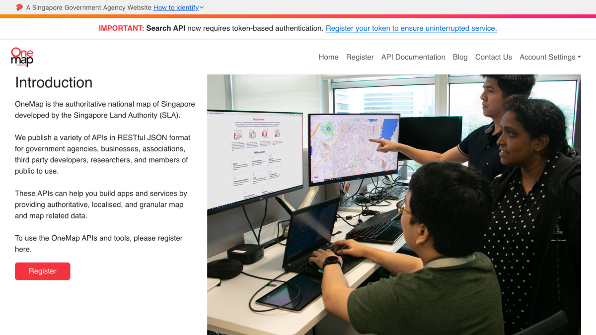
OneMap is the national mapping platform for Singapore, developed and maintained by the Singapore Land Authority (SLA). It publishes a set of RESTful JSON APIs and map services intended for government agencies, businesses, associations, third-party developers, researchers, and members of the public to build applications using authoritative, localised map data.
The service includes basemap layers in four styles (Default, Original, Grey, and Night), embeddable minimaps with customizable markers and pop-ups, an advanced minimap supporting up to 15 location markers with routing between them, and a static map generator producing PNG images with overlaid points, polygons, or polylines. The API documentation covers address search, reverse geocoding, routing for public transport, driving, walking, and cycling, coordinate conversion across six functions, access to over 100 thematic location layers, boundary data for Singapore's 55 planning areas, and population demographics sourced from the Department of Statistics.
Registration is required to use the APIs and tools, and the search API requires token-based authentication.
Key features
- Search API for addresses, roads, and buildings in Singapore
- Reverse geocoding to get address or road name from a location
- Routing across Singapore for public transport, driving, walking, and cycling
- Coordinate conversion between 6 conversion functions
- Access to over 100 thematic layers for amenities, boundaries, and facilities
- Static map generation in PNG format for embedding in websites or print materials
Frequently asked questions
What is OneMap?
OneMap is the authoritative national map of Singapore developed by the Singapore Land Authority (SLA), offering RESTful JSON APIs with authoritative, localised map data.
Who is OneMap for?
It is published for government agencies, businesses, associations, third party developers, researchers, and members of the public.
Do I need an API key to use OneMap?
Yes, you must register for a token, as the Search API now requires token-based authentication.
What map styles are available for the basemap?
The basemap comes in 4 different styles: Default, Original, Grey, and Night.
What license governs the use of OneMap data?
OneMap data is provided under the Singapore Open Data License.


SerpApi - Search API
SerpApi's Search API makes it easy and fast to scrape Google and other search engines.

Show your product to thousands of developers
· 100k monthly pageviews
· 7k newsletter subscribers
You might also like
Metadapi Zip Code
GeocodingEnhanced United States zip code information. Census, IRS, demographics, radius, distances and more.
Mexico
GeocodingMexico RESTful zip codes API.
Nominatim
GeocodingProvides worldwide forward / reverse geocoding.
OnWater
GeocodingDetermine if a lat/lon is on water or land.
Open Topo Data
GeocodingElevation and ocean depth for a latitude and longitude.
OpenCage
GeocodingForward and reverse geocoding using open data.