
Mapbase
Location registry API for official locations, zones, hierarchy, and geometry.
About Mapbase
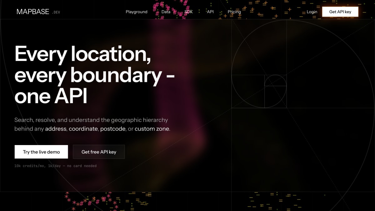
Mapbase is an API and SDK for resolving geographic hierarchy data behind addresses, coordinates, postcodes, and custom zones. It organizes data into three linked layers—locations (normalized records for countries, regions, municipalities, and parishes with stable IDs), zones (official boundaries plus user-defined areas such as delivery catchments or sales territories), and postcodes (Eurostat postal codes linked to canonical locations). Data is queried through a search_registry endpoint for autocomplete-style search across all layers and a point_layers endpoint for resolving coordinates to their containing location and zone polygons.
The product is designed to be layered on top of existing geocoders such as Google or Geoapify rather than replacing them: a geocoder converts text input into coordinates, and Mapbase's points.resolve call converts those coordinates into canonical geographic hierarchy, boundary polygons, linked postcodes, and stable IDs prefixed "mb_". It also offers provider routes that let a client call Google or Geoapify through Mapbase using the customer's own API key, normalizing the response shape. Custom zones can be submitted for review and, once approved, are enriched with a containing location, polylines, and registry IDs.
Mapbase provides a typed SDK, a REST API, installable UI blocks, and a live playground for testing queries. It generates programmatic SEO pages per canonical place, including breadcrumbs, SERP metadata, and Schema.org JSON-LD, and maintains a public directory of places for Portugal, Spain, Italy, and the United Kingdom. It is intended for developers building product features that depend on geographic data rather than maintaining their own geo infrastructure. Pricing uses a credit-weighted model starting at €0 with paid plans from €20/month, including a free tier of 10,000 credits per month (1,000 per day) without requiring a card.
Key features
- Search and resolve locations, zones, and postcodes via search_registry and point_layers
- Resolves coordinates to full administrative hierarchy with points.resolve
- Custom zone submission and enrichment with containing location, polylines, and registry IDs
- Provider passthrough routes for Google and Geoapify using your own API key
- Pre-simplified boundaries served as GeoJSON or polyline
- Programmatic SEO pages with breadcrumbs, SERP meta, and Schema.org JSON-LD
Frequently asked questions
Is there a free tier?
Yes, Mapbase offers a free tier with 10,000 credits/mo and 1,000/day with no card required; paid plans start at €20/mo.
Does Mapbase replace my existing geocoder?
No, it can run standalone or layer on top of an existing provider like Google or Geoapify by resolving the point they return into canonical geography.
What kind of access does Mapbase provide?
It offers a typed SDK, a REST API, and installable UI blocks.
What geographic data does Mapbase cover?
It covers locations, zones, and postcodes with live directory pages for Portugal, Spain, Italy, and the United Kingdom.
Who is Mapbase for?
It is for developers building geographic product logic who want canonical location, zone, and postcode data without building and maintaining their own geo infrastructure.


SerpApi - Search API
SerpApi's Search API makes it easy and fast to scrape Google and other search engines.

Show your product to thousands of developers
· 100k monthly pageviews
· 7k newsletter subscribers
You might also like
keycdn IP Location Finder
GeocodingGet the IP geolocation data through the simple REST API. All the responses are JSON encoded.
LocationIQ
GeocodingProvides forward/reverse geocoding and batch geocoding.
Longdo Map
GeocodingInteractive map with detailed places and information portal in Thailand.
Mapbox
GeocodingCreate/customize beautiful digital maps.
MapQuest
GeocodingTo access tools and resources to map the world.
Metadapi Zip Code
GeocodingEnhanced United States zip code information. Census, IRS, demographics, radius, distances and more.