
Longdo Map
Interactive map with detailed places and information portal in Thailand.
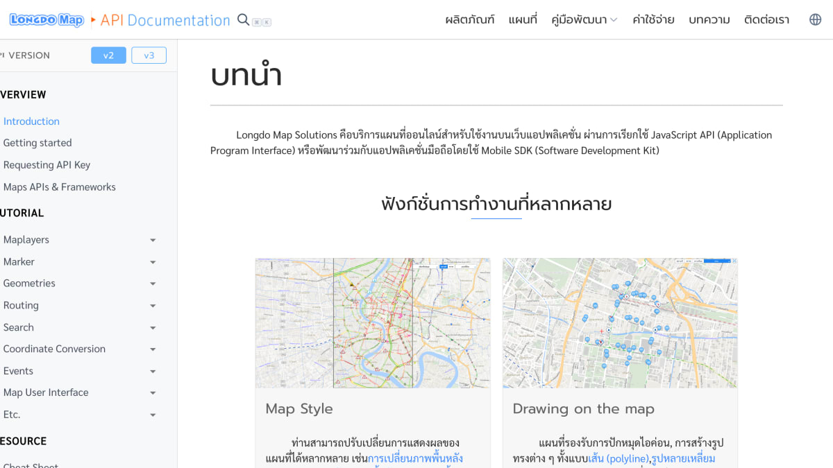
About Longdo Map
Longdo Map Solutions is an online mapping service for use in web applications, accessed through a JavaScript API, with a Mobile SDK available for integration with mobile applications.
The service supports customizable map display, including changing the base map background and overlaying data layers, as well as configuring map options. It also provides drawing tools for placing icon markers and creating shapes on the map such as polylines, polygons, and circles.
Additional web services include a routing service that calculates distance and travel details between a starting point and destination, factoring in traffic conditions to estimate travel time, and a place service that offers location suggestions and search, returning names and coordinates for queried places.
Key features
- JavaScript API for embedding maps in web applications
- Mobile SDK for map integration in mobile apps
- Customizable map styles including base map and data layer overlays
- Drawing tools for icons, polylines, polygons, and circles
- Route web service for distance, travel time, and turn-by-turn directions with real-time traffic
- Place web service for location search and autocomplete suggestions
Frequently asked questions
What platforms does Longdo Map support?
It offers a JavaScript API for web applications and a Mobile SDK for mobile app development.
Can I customize how the map looks?
Yes, you can change the base map, overlay data layers, and configure map options.
Does it support route calculation?
Yes, the Route web service calculates distance and travel time between points, factoring in real-time traffic.
Can I search for places with the API?
Yes, the Place web service provides search and autocomplete suggestions that return names and coordinates.
Does the map support drawing shapes and markers?
Yes, it supports pinning icons and drawing polylines, polygons, circles, and other shapes on the map.


SerpApi - Search API
SerpApi's Search API makes it easy and fast to scrape Google and other search engines.

Show your product to thousands of developers
· 100k monthly pageviews
· 7k newsletter subscribers
You might also like
Kakao Maps
GeocodingKakao Maps provide multiple APIs for Korean maps.
keycdn IP Location Finder
GeocodingGet the IP geolocation data through the simple REST API. All the responses are JSON encoded.
LocationIQ
GeocodingProvides forward/reverse geocoding and batch geocoding.
Mapbase
GeocodingLocation registry API for official locations, zones, hierarchy, and geometry.
Mapbox
GeocodingCreate/customize beautiful digital maps.
MapQuest
GeocodingTo access tools and resources to map the world.