
Open Data Minneapolis
Spatial (GIS) and non-spatial city data for Minneapolis.
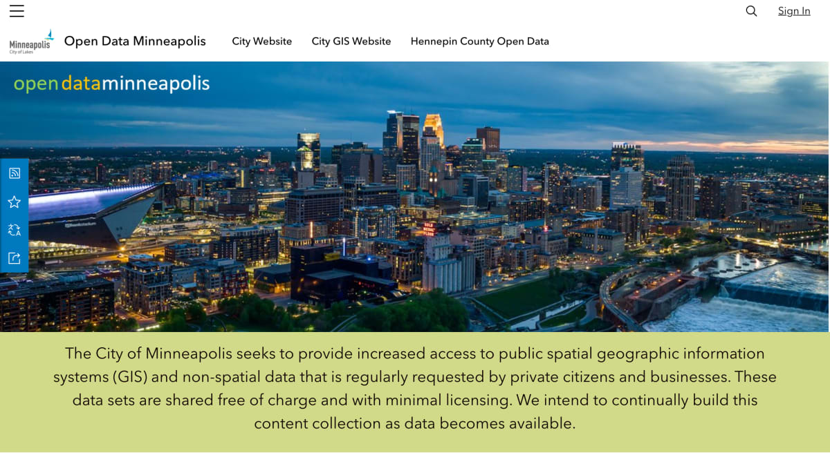
About Open Data Minneapolis
Open Data Minneapolis is a public data portal operated by the City of Minneapolis, providing access to geographic information systems (GIS) and non-spatial datasets. Content is organized into categories including public safety, boundaries, planning, city assessing, regulatory services, snow emergency, business licensing, 311, and bike & scooter data. Datasets are shared free of charge under minimal licensing terms, specifically a Creative Commons 1.0 License.
The portal is built on ArcGIS Hub and is intended for private citizens and businesses seeking regularly requested public data. Related city resources linked from the portal include DataSource (for interactive visualizations and dashboards), Financial Data (for analyzing city finances), Election Data (for election results), and MapIT (for maps and apps).
The site notes that OpenDataMPLS is transitioning to a successor platform called MinneapolisData, which will include data dashboards and other city public data.
Key features
- Provides public spatial GIS and non-spatial datasets for the City of Minneapolis
- Datasets organized into categories such as Public Safety, Boundaries, Planning, City Assessing, and 311
- Interactive visualizations and dashboards via DataSource
- Financial data visualization and analysis tools
- Election results exploration
- Featured maps and apps via MapIT Minneapolis
Frequently asked questions
Is this data free to use?
Yes, the data sets are shared free of charge and with minimal licensing.
What license applies to the data?
The data is released under a Creative Commons 1.0 License, per the City's Open Data Policy.
What kind of data categories are available?
Categories include Public Safety, Boundaries, Planning, City Assessing, Regulatory Services, Snow Emergency, Business Licensing, 311, and Bike & Scooter.
Who is this platform for?
It is intended for private citizens and businesses seeking public GIS and non-spatial data about the City of Minneapolis.
What platform is this built on?
The site is built with ArcGIS Hub.


SerpApi - Search API
SerpApi's Search API makes it easy and fast to scrape Google and other search engines.

Show your product to thousands of developers
· 100k monthly pageviews
· 7k newsletter subscribers
You might also like
Lowy Asia Power Index
Open DataGet measure resources and influence to rank the relative power of states in Asia.
Microlink.io
Open DataExtract structured data from any website.
Nobel Prize
Open DataOpen data about nobel prizes and events.
openAFRICA
Open DataLarge datasets repository of African open data.
OpenCorporates
Open DataData on corporate entities and directors in many countries.
OpenSanctions
Open DataData on international sanctions, crime and politically exposed persons.