GeoDescription
Reverse geocoding - Converting geographic coordinates to address-like location description.
About GeoDescription
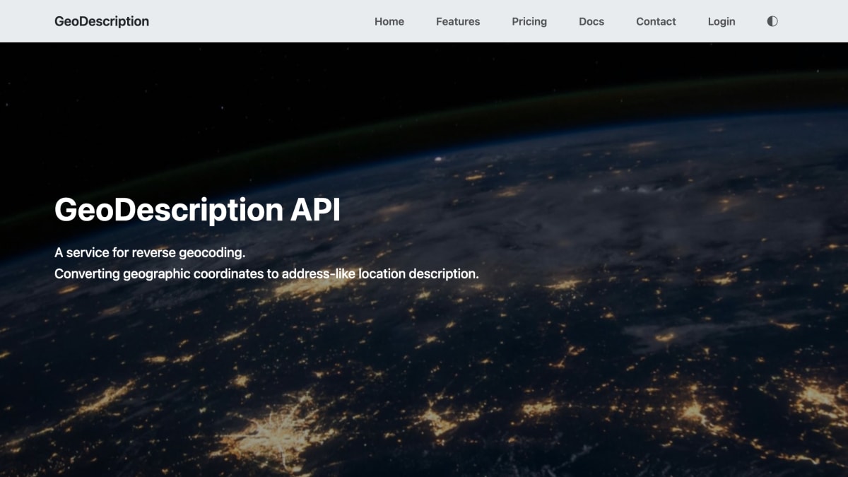
GeoDescription is a reverse geocoding API that converts geographic coordinates (latitude and longitude) into address-like location descriptions, returned as either plain text or JSON. The JSON response breaks the location down into components such as street or road name, place, and administrative boundaries (region, country). Data is sourced from OpenStreetMap and updated daily; coverage currently includes Europe and the USA.
The service offers a free tier for testing and validation, rate-limited to 1 request per second. Paid options include a prepaid plan priced per million requests and a rate-based monthly subscription plan aimed at transport telematics providers requiring higher, subscribed request rates.
Customers manage API keys, usage, and billing through a customer website, with accounts identified by an anonymous login ID and payments handled by Stripe. The service is operated by GMAC Systems Ltd, registered in England and Wales.
Key features
- Reverse geocoding: converts latitude/longitude coordinates into address-like location descriptions
- Returns results as plain text or structured JSON with street, place, region, and country names
- Data sourced from OpenStreetMap and updated daily
- Coverage currently enabled for Europe and USA, with other territories available on request
- Customer website for managing API keys, usage, and payments, with anonymous login and Stripe-managed billing
Frequently asked questions
Is there a free tier?
Yes, a free tier is available for testing and validation, rate limited to 1 request per second with response times between 1 and 3 seconds.
How is the API priced?
Beyond the free tier, there is a prepaid option at $10 per 1 million requests, and a subscription option at $10 per 500 requests per minute monthly.
What data does the API return?
It returns an address-like location description as text or JSON, including street/road name, place, region, and country.
What territories are covered?
Europe and USA are currently enabled, with other territories available on commercial request.
Who is this API intended for?
It targets commercial high-volume users such as transport telematics providers, alongside a free tier for testing and validation.


SerpApi - Search API
SerpApi's Search API makes it easy and fast to scrape Google and other search engines.

Show your product to thousands of developers
· 100k monthly pageviews
· 7k newsletter subscribers
You might also like
Geocode.xyz
GeocodingProvides worldwide forward/reverse geocoding, batch geocoding and geoparsing.
Geocodify.com
GeocodingWorldwide geocoding, geoparsing and autocomplete for addresses.
GeoDataSource
GeocodingGeocoding of city name by using latitude and longitude coordinates.
GeographQL
GeocodingA Country, State, and City GraphQL API.
GeoJS
GeocodingIP geolocation with ChatOps integration.
Geokeo
GeocodingGeokeo geocoding service- with 2500 free api requests daily.