BigDataCloud's Reverse Geocoding API
Get rich locality information from the geographical coordinates.
About BigDataCloud's Reverse Geocoding API
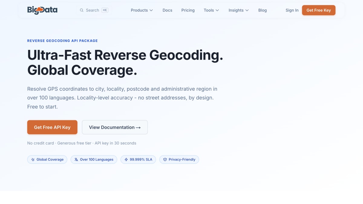
BigDataCloud's Reverse Geocoding API converts GPS coordinates into locality-level location data, including country, state, city, suburb, and postal code, rather than street addresses. It resolves to administrative and non-administrative boundaries, providing coverage in areas with sparse street data, seas, oceans, and uninhabited regions. Locality names can be returned in over 100 languages via a single parameter, and postal code accuracy is supported for the US, Great Britain, and Australia. The package also includes a Time Zone by Location API and a combined Reverse Geocoding with Timezone API, along with a GraphQL interface for querying multiple endpoints in a single request.
The service does not store submitted GPS coordinates and does not restrict customers from permanently storing the geocoding results it returns. FIPS codes are available for US-specific compliance, government, and healthcare use cases.
Plans are Base (free, 50k requests/month), Bronze ($19.95/month, 500k requests/month), Silver ($169/month, 5M requests/month), Gold ($1399/month, 50M requests/month), and Platinum ($4499/month, unlimited requests/month), with overage pricing on the lower tiers. Listed use cases include mobile apps, fleet management, local marketing, and form auto-fill. Suggested pairings include BigDataCloud's IP Geolocation API and Phone & Email Verification products.
Key features
- Resolves GPS coordinates to city, locality, postcode, and administrative region
- Locality names in over 100 languages via a single parameter
- Sub-millisecond, edge-deployed flat-file architecture with no database lookups
- Full postal code accuracy for US, Great Britain, and Australia
- Timezone info with UTC offset, DST status, and current local time
- Global coverage including seas, oceans, and uninhabited areas
Frequently asked questions
Is there a free tier?
Yes, the Base plan is free with no credit card needed and includes 50k requests per month.
Does it return street-level addresses?
No, by design it resolves coordinates only to administrative areas like city, suburb, postcode, state, and country.
Can I store the results permanently?
Yes, BigDataCloud places no restrictions on storing geocoding results, unlike Google Maps which restricts permanent storage.
How fast is the API?
Server-side processing takes under 10 microseconds, with total latency also depending on network transit to the nearest server node.
Is there a GraphQL option?
Yes, all endpoints in the package are accessible via a single GraphQL interface, included on every plan.


SerpApi - Search API
SerpApi's Search API makes it easy and fast to scrape Google and other search engines.

Show your product to thousands of developers
· 100k monthly pageviews
· 7k newsletter subscribers
You might also like
BigDataCloud's IP Geolocation API
GeocodingProvides fast and accurate IP geolocation APIs along with security checks and confidence area.
BigDataCloud's Network Engineering API
GeocodingGet detailed ASN and Network lookup of an IP address.
BigDataCloud's Phone and Email Verification API
GeocodingSyntax and Format Validation of Phone Number and Email address.
Bing Maps
GeocodingCreate/customize digital maps based on Bing Maps data.
bng2latlong
GeocodingConvert British OSGB36 easting and northing (British National Grid) to WGS84 latitude and longitude.
Cartes.io
GeocodingCreate maps and markers for anything.