Cartes.io
Create maps and markers for anything.
About Cartes.io
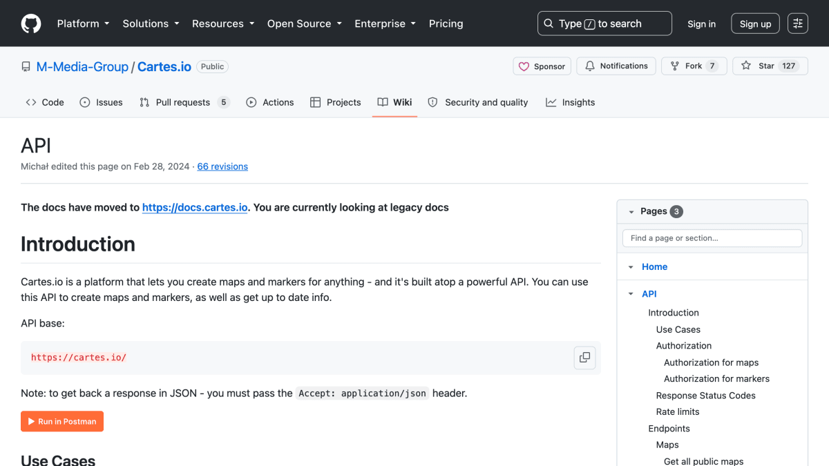
Cartes.io is a platform for creating maps and markers, accessible through a REST API. The API allows creation of maps and markers, retrieval of map and marker data, and automated placement of markers. Maps can be created without an API key; markers can be created without authorization, with API key authorization, or restricted to the map owner, depending on the map's configured permission settings.
The API supports filtering and querying public maps by ID, category, and a Stripe-like query syntax, with the ability to expand related resources (markers, categories, contributors, users) in responses and to request marker data in GeoJSON format. Maps can be set to public, unlisted, or private, and creators receive a one-time token used to edit or delete the resource. Unauthenticated requests are subject to per-minute and per-day rate limits, while authenticated requests have more permissive per-minute limits and no daily cap.
The tool is aimed at developers building applications that need mapping and marker functionality, such as integrating location-based data collection or visualization into other projects. Response status codes and rate-limit headers (X-RateLimit-Limit, X-RateLimit-Remaining, Retry-After) are documented for programmatic handling.
Key features
- Create maps and place markers via a REST API
- Public, unlisted, or private map privacy levels
- Configurable marker creation permissions (anyone, logged-in only, or map owner only)
- Filter and search maps with query parameters, including category and text search
- Expand related resources (markers, categories, users) in API responses
- Export marker data in GeoJSON format
Frequently asked questions
Do I need an API key to use Cartes.io?
No, you can use the API without authorization; creating maps and markers returns a one-time token needed for further edits or deletion.
Are there rate limits on the API?
Yes, endpoints for creating resources are rate limited, with stricter per-minute and per-day limits for unauthenticated requests and more permissive per-minute-only limits for authenticated ones.
What response format does the API use?
The API returns JSON when the Accept: application/json header is passed, and markers can optionally be returned in GeoJSON format.
Can I control who creates markers on my map?
Yes, map settings let you allow anyone, only logged-in users, or only the map owner to create markers.


SerpApi - Search API
SerpApi's Search API makes it easy and fast to scrape Google and other search engines.

Show your product to thousands of developers
· 100k monthly pageviews
· 7k newsletter subscribers
You might also like
BigDataCloud's Reverse Geocoding API
GeocodingGet rich locality information from the geographical coordinates.
Bing Maps
GeocodingCreate/customize digital maps based on Bing Maps data.
bng2latlong
GeocodingConvert British OSGB36 easting and northing (British National Grid) to WGS84 latitude and longitude.
Cep.la
GeocodingBrazil RESTful API to find information about streets, zip codes, neighborhoods, cities and states.
CitySDK
GeocodingOpen APIs for select European cities.
Country
GeocodingGet your visitor's country from their IP.