
administrative-divisons-db
Get all administrative divisions of a country.
About administrative-divisons-db
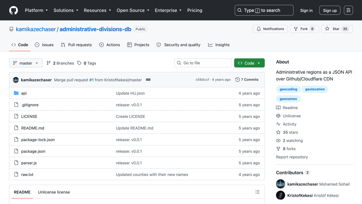
This repository provides administrative divisions of countries as a JSON API served over GitHub via the Rawgit/Cloudflare CDN. Data is sourced from GeoNames, and division data for a given country is retrieved by making a GET request to a URL containing that country's code, returning the corresponding JSON file from the repository's api directory.
The project is positioned as an alternative to existing administrative-division APIs, which the README describes as having rate limits, no uptime guarantee, and requiring an API key and quota. This service instead serves static JSON files through a CDN with no stated limits and guaranteed uptime.
It is intended for developers who need geocoding or geolocation data related to countries' administrative regions, such as states, provinces, or similar subdivisions, without managing API keys or dealing with rate limiting.
Key features
- Serves administrative divisions of countries as a JSON API
- No rate limits and guaranteed uptime via GitHub/Cloudflare CDN (Rawgit)
- Data sourced from GeoNames
- Access data by country code via a simple GET request
Frequently asked questions
Is there a rate limit or API key required?
No, the API has no rate limits and requires no API key or quota, unlike other alternatives.
How do I get data for a specific country?
Make a GET request to the API URL with the country's code, e.g. api/KE.json for Kenya.
Where does the data come from?
The administrative division data is sourced from GeoNames.
What is the license?
The project is released under the Unlicense.


SerpApi - Search API
SerpApi's Search API makes it easy and fast to scrape Google and other search engines.

Show your product to thousands of developers
· 100k monthly pageviews
· 7k newsletter subscribers
You might also like
Abstract IP Geolocation
GeocodingGeolocate website visitors from their IPs.
Actinia Grass GIS
GeocodingActinia is an open source REST API for geographical data that uses GRASS GIS.
adresse.data.gouv.fr
GeocodingAddress database of France, geocoding and reverse.
Apiip
GeocodingGet location information by IP address.
BigDataCloud's Free API
GeocodingGet free client-side reverse geocoding API and Client Info API. No account creation and API key required.
BigDataCloud's IP Geolocation API
GeocodingProvides fast and accurate IP geolocation APIs along with security checks and confidence area.