
USGS Water Services
Water quality and level info for rivers and lakes.
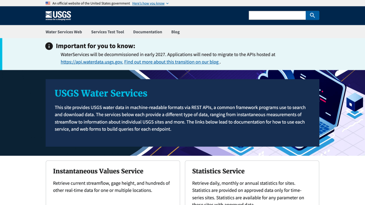
About USGS Water Services
USGS Water Services provides United States Geological Survey water data through REST APIs in machine-readable formats. It comprises several distinct services: an Instantaneous Values Service for current streamflow, gage height, and other real-time data at one or multiple locations; a Statistics Service for daily, monthly, or annual statistics on approved time-series data; a Site Service for searching USGS sites with output in tab-delimited and KML formats; a Daily Values Service for historical summarized daily data (mean, median, maximum, minimum, and other derived values) on streams, lakes, and wells; and Water Quality Services, developed jointly with the EPA, for retrieving quality-checked water quality samples and results.
The site includes documentation for each service and web forms for building and testing queries against each endpoint.
The service is scheduled for decommissioning in early 2027, with applications expected to migrate to APIs hosted at api.waterdata.usgs.gov.
Key features
- Retrieve current streamflow, gage height, and real-time data via the Instantaneous Values Service
- Retrieve daily, monthly, or annual site statistics on approved time-series data
- Search USGS sites and site information with flexible filters, output as tab-delimited or KML
- Access historical daily data (mean, median, max, min) for streams, lakes, and wells
- Retrieve water quality sample and result data jointly developed with the EPA
Frequently asked questions
Is USGS Water Services free to use?
The page does not state pricing information.
What data formats are supported?
The Site Service supports tab-delimited and KML formats, the latter usable with Google Earth and Google Maps.
Is this API still supported long-term?
WaterServices will be decommissioned in early 2027, and applications will need to migrate to the APIs hosted at api.waterdata.usgs.gov.
Who is this API for?
It is for developers and programs that need machine-readable USGS water data such as streamflow, gage height, site information, and water quality results.


SerpApi - Search API
SerpApi's Search API makes it easy and fast to scrape Google and other search engines.

Show your product to thousands of developers
· 100k monthly pageviews
· 7k newsletter subscribers
You might also like
SpaceX
Science & MathCompany, vehicle, launchpad and launch data.
Sunrise and Sunset
Science & MathSunset and sunrise times for a given latitude and longitude.
Times Adder
Science & MathWith this API you can add each of the times introduced in the array sent.
TLE
Science & MathSatellite information.
USGS Earthquake Hazards Program
Science & MathEarthquakes data real-time.
World Bank
Science & MathWorld Data.