
USGS Earthquake Hazards Program
Earthquakes data real-time.
About USGS Earthquake Hazards Program
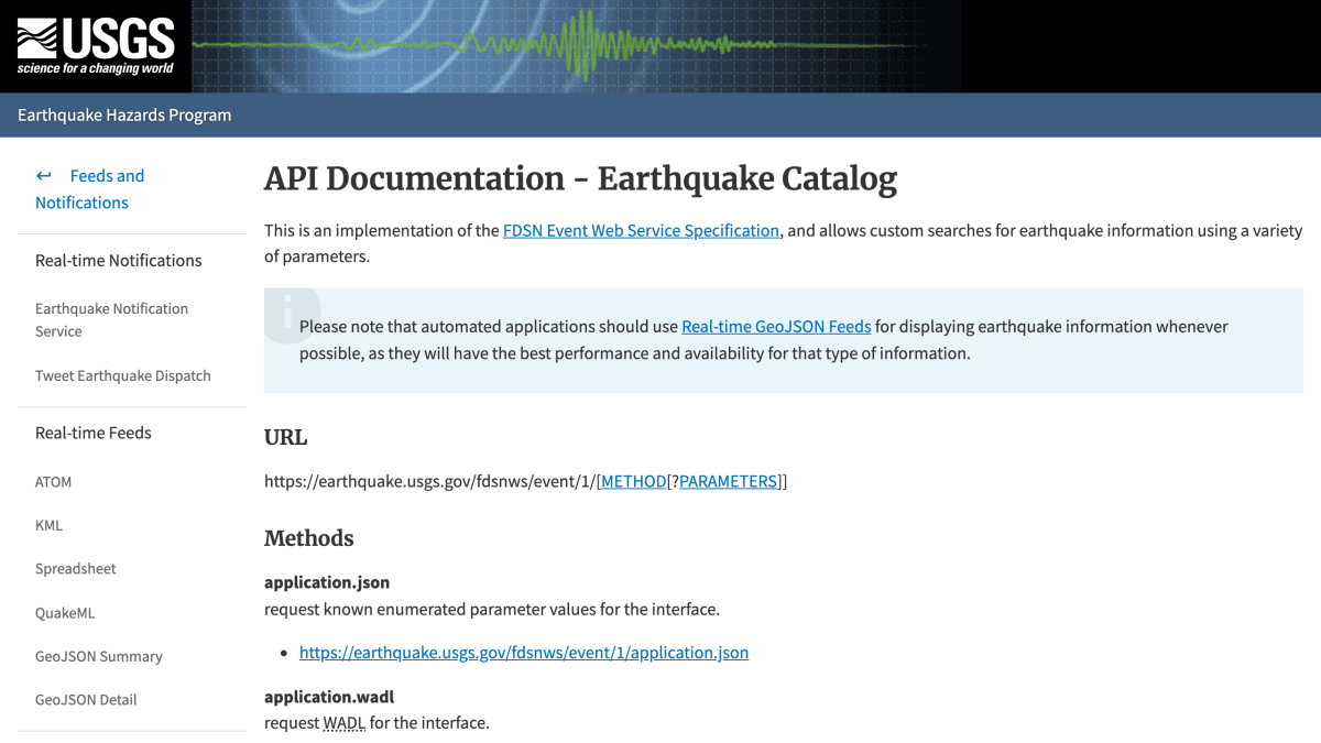
The USGS Earthquake Hazards Program provides an FDSN-compliant Event Web Service for querying earthquake catalog data. The API is accessed via https://earthquake.usgs.gov/fdsnws/event/1/ and supports methods for querying events, counting results, listing available catalogs and contributors, and retrieving service version and metadata. Query results can be filtered by time range, geographic rectangle or circular radius, catalog, contributor, and event ID.
Output formats include CSV, GeoJSON, KML, QuakeML/XML, and plain text, with format-specific parameters such as callback and jsonerror for GeoJSON and kmlanimated and kmlcolorby for KML. Additional parameters control inclusion of all magnitudes, all origins, deleted events, and superseded products for a given event.
The documentation notes that automated applications displaying earthquake information should use the Real-time GeoJSON Feeds instead of this query service, as those feeds offer better performance and availability for that purpose. This service is intended for custom searches of earthquake data by developers building applications that need catalog-level querying rather than live feed consumption.
Key features
- Query global earthquake catalog data with custom search parameters
- Filter results by time range, location (rectangle or circle radius), magnitude, and catalog/contributor
- Multiple output formats: GeoJSON, CSV, KML, XML/QuakeML, and plain text
- Count endpoint to get event totals matching query parameters without full results
- Select specific events by ID with full origin and magnitude details
- Discover available catalogs and contributors via dedicated endpoints
Frequently asked questions
Is this API free to use?
The documentation does not mention pricing or authentication, and it is a public USGS government data service.
What output formats does the API support?
It supports GeoJSON, CSV, KML, QuakeML/XML, and plain text, selected via the format parameter.
How do I query earthquakes in a specific area or time range?
Use starttime/endtime parameters for time filtering and either rectangle parameters (minlatitude, maxlatitude, minlongitude, maxlongitude) or circle parameters (latitude, longitude, maxradius/maxradiuskm) for location filtering.
Who is this API for?
It is for automated applications and developers building custom searches for earthquake information, following the FDSN Event Web Service Specification.
Should I use this for real-time earthquake feeds?
No, the documentation recommends automated applications use the Real-time GeoJSON Feeds instead for the best performance and availability.


SerpApi - Search API
SerpApi's Search API makes it easy and fast to scrape Google and other search engines.

Show your product to thousands of developers
· 100k monthly pageviews
· 7k newsletter subscribers
You might also like
SpaceX
Science & MathCompany, vehicle, launchpad and launch data.
Sunrise and Sunset
Science & MathSunset and sunrise times for a given latitude and longitude.
Times Adder
Science & MathWith this API you can add each of the times introduced in the array sent.
TLE
Science & MathSatellite information.
USGS Water Services
Science & MathWater quality and level info for rivers and lakes.
World Bank
Science & MathWorld Data.