
Rwanda Locations
Rwanda Provinces, Districts, Cities, Capital City, Sector, cells, villages and streets.
About Rwanda Locations
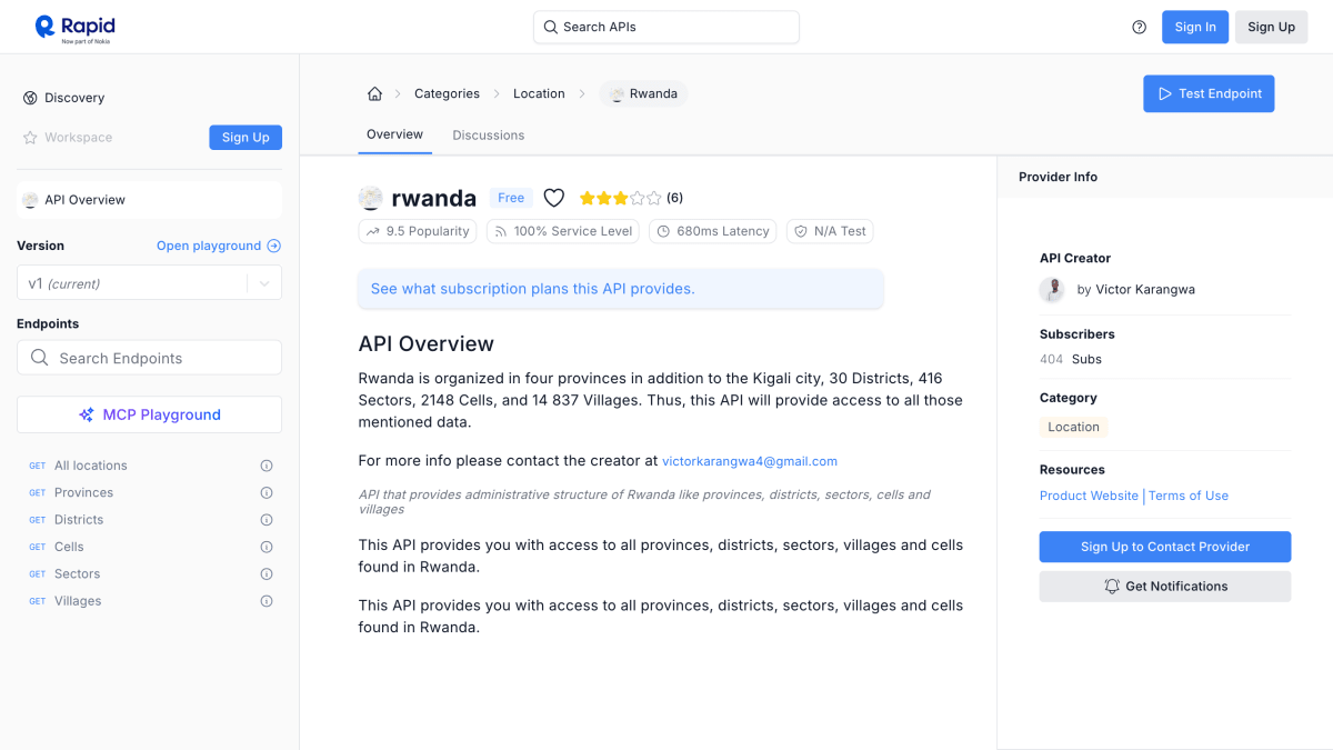
Rwanda Locations is an API that provides access to the administrative structure of Rwanda, covering provinces, districts, sectors, cells, and villages. It exposes data for the country's four provinces plus Kigali city, 30 districts, 416 sectors, 2,148 cells, and 14,837 villages.
It is hosted on RapidAPI and offers a free tier. It is suited for developers building applications that require Rwandan administrative location data, such as address forms, geographic lookups, or regional data organization.
Key features
- Access all four provinces of Rwanda plus Kigali city
- List 30 districts of Rwanda
- List 416 sectors of Rwanda
- List 2148 cells of Rwanda
- List 14,837 villages of Rwanda
Frequently asked questions
What data does this API provide?
It provides Rwanda's administrative structure, including provinces, districts, sectors, cells, and villages.
Is there a free tier?
Yes, RapidAPI lists a Free plan for this API.
Where is this API hosted?
It is hosted and offered as a subscription API on RapidAPI.
Who should use this API?
Developers who need structured data on Rwanda's administrative divisions, such as provinces, districts, sectors, cells, and villages.


SerpApi - Search API
SerpApi's Search API makes it easy and fast to scrape Google and other search engines.

Show your product to thousands of developers
· 100k monthly pageviews
· 7k newsletter subscribers
You might also like
Postcodes.io
GeocodingPostcode lookup & Geolocation for the UK.
Proweblook IP Checker
GeocodingProweblook lookup & Geolocation.
REST Countries
GeocodingGet information about countries via a RESTful API.
SLF
GeocodingGerman city, country, river, database.
Telize
GeocodingTelize offers location information from any IP address.
The IP API
GeocodingIP to Location API, with data about country, region, city etc, with free plan allowing 1000 req/day.