Road511
Unified traffic data from 65 US/CA jurisdictions: events, cameras, signs, bridges, truck routes.
About Road511
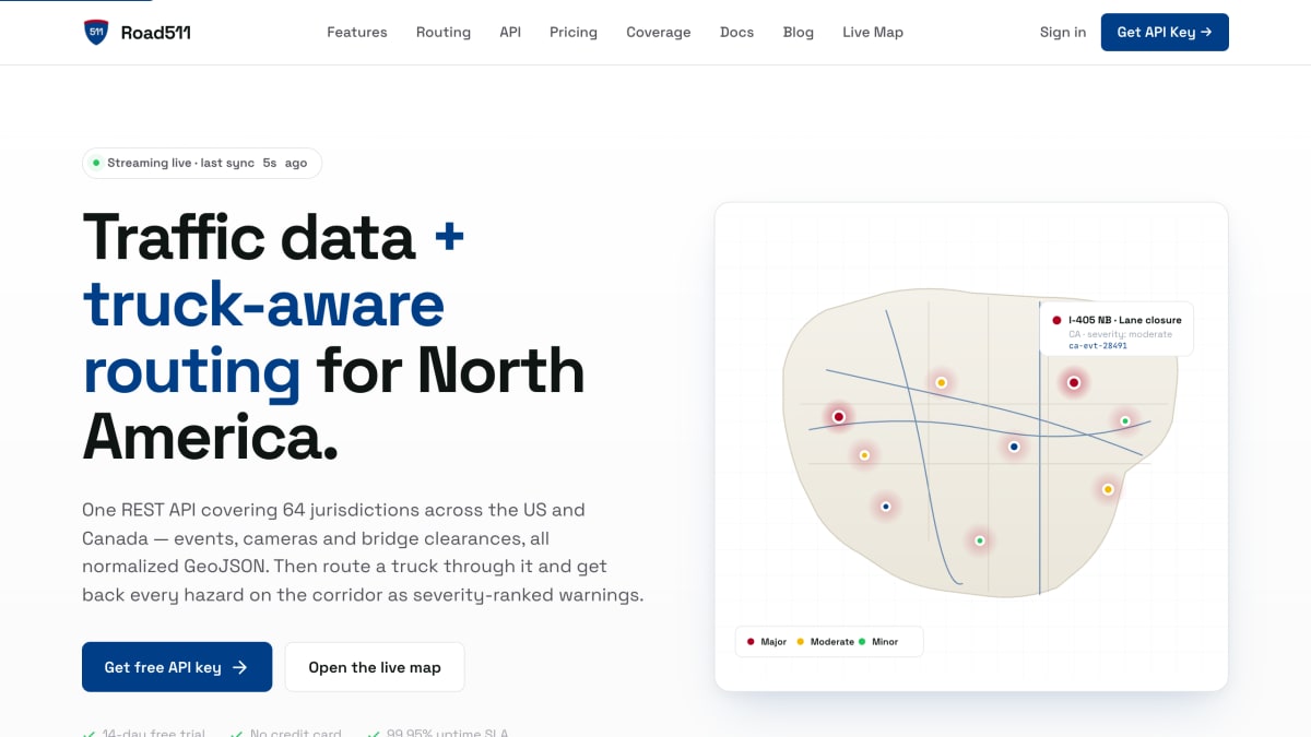
Road511 is a REST API providing real-time traffic data and truck-aware routing across North America, covering 64 jurisdictions (51 US states/territories and 13 Canadian provinces/territories) plus data from FHWA, NBI, NREL, and WZDx. It normalizes traffic events (incidents, construction, closures, weather advisories) and points of interest (cameras, weigh stations, rest areas, EV charging, ferries, border crossings, and other feature types) into a single RFC 7946-compliant GeoJSON schema, queryable by jurisdiction, type, severity, bounding box, or radius.
The routing endpoint computes truck routes and checks the corridor against a truck's height, weight, and dimension profile, returning severity-ranked warnings for bridge clearances, posted weight/size restrictions, hazmat rail crossings, live incidents and construction, weigh stations, and weather conditions, each with a projected arrival time. It also supports hours-of-service planning tied to FMCSA rules with reachable parking/rest stops, toll cost estimation itemized by toll system and axle/weight class, up to three alternative routes, and webhook notifications (HMAC-SHA256 signed) for saved routes. Additional capabilities include analytics such as P50/P95 corridor clearance times, reliability scores, and time-series event trends, along with per-event lifecycle and audit history.
The product targets developers building for fleet and logistics operations, GIS and mapping applications, mobility analytics dashboards, and public-sector traffic operations. It offers a 14-day free trial with no credit card required and a 99.95% uptime SLA.
Key features
- Truck-aware routing with severity-ranked hazard warnings for the corridor
- Normalizes traffic events and POI data across 64 US and Canadian jurisdictions into one REST API
- RFC 7946 compliant GeoJSON output for direct use in Leaflet, Mapbox, deck.gl, and ArcGIS
- Bridge clearance, weight, and hazmat rail-crossing checks against a truck's profile
- Webhook notifications with HMAC-SHA256 signed payloads and automatic retries
- Analytics endpoints for corridor reliability, P50/P95 clearance times, and event trend volumes
Frequently asked questions
Is there a free tier or trial?
Road511 offers a 14-day free trial with no credit card required, and hours-of-service planning is free on every plan.
What data formats and platforms does it support?
The API returns RFC 7946 compliant GeoJSON that drops directly into Leaflet, Mapbox, deck.gl, and ArcGIS without a transform layer.
What geographic coverage does Road511 provide?
It covers 64 jurisdictions, including 51 US states and 13 Canadian provinces and territories, plus FHWA, NBI, NREL, and WZDx data sources.
Who is Road511 built for?
It targets fleet and logistics teams, GIS and mapping developers, mobility analytics teams, and public sector operations.
What does the truck routing endpoint return?
POST /api/v1/routing/route computes route geometry and returns a severity-ranked list of hazards including bridge clearances, weight restrictions, hazmat rail crossings, incidents, and weather along the corridor.


SerpApi - Search API
SerpApi's Search API makes it easy and fast to scrape Google and other search engines.

Show your product to thousands of developers
· 100k monthly pageviews
· 7k newsletter subscribers
You might also like
Navitia
TransportationThe open API for building cool stuff with transport data.
Open Charge Map
TransportationGlobal public registry of electric vehicle charging locations.
REFUGE Restrooms
TransportationProvides safe restroom access for transgender, intersex and gender nonconforming individuals.
Sabre for Developers
TransportationTravel Search - Limited usage.
Schiphol Airport
TransportationSchiphol.
Swedavia Airports
TransportationAirport and flight information of Swedish Airports operated by Swedavia.