
Google Maps
Create/customize digital maps based on Google Maps data.
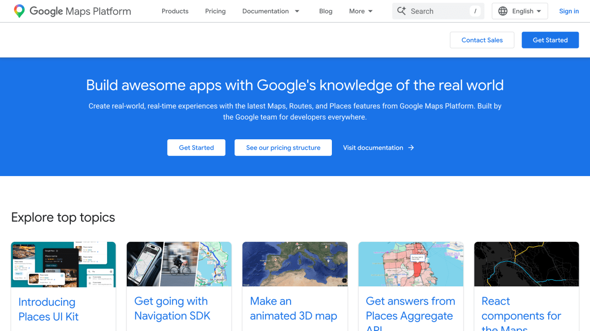
About Google Maps
Google Maps Platform provides APIs and SDKs for embedding maps, routing, and location data into applications. Its Maps category covers JavaScript, Android, and iOS SDKs, a Flutter integration, embed and static map options, Street View, aerial and elevation data, and map tiles. The Routes category includes routing APIs, navigation SDKs for Android, iOS, and React Native, road data, and route optimization, while the Places category offers place search and details, geocoding, geolocation, address validation, time zone lookup, and place density analytics.
The platform also includes environmental data APIs covering air quality, pollen, solar, and weather information, along with analytics tools for imagery and roads management insights. Documentation includes security best practices, a digital signature guide, map coverage details, and platform status monitoring.
It is aimed at developers building location-based features into web and mobile applications, with resources including codelabs for React, SwiftUI, Jetpack Compose, and Flutter integrations, an open-source GitHub presence, and a Discord community for developer support.
Key features
- Maps JavaScript API, Android, iOS, and Flutter SDKs for embedding interactive maps
- Routes API and Navigation SDKs for turn-by-turn navigation and route optimization
- Places API for place search, details, and Places Aggregate API for area density analytics
- Geocoding, Geolocation, Address Validation, and Time Zone APIs
- Air Quality, Pollen, Solar, and Weather environmental APIs
- Street View Static API and Aerial View API for imagery
Frequently asked questions
What platforms and languages are supported?
Google Maps Platform provides SDKs for Android, iOS, and Flutter, plus web APIs like the Maps JavaScript API, covering web and mobile development.
Is there pricing information available?
Yes, Google Maps Platform provides a dedicated pricing structure page detailing costs for its APIs and SDKs.
Does it integrate with popular frontend frameworks?
Yes, there are React components available via the @vis.gl/react-google-map library for the Maps JavaScript API, and codelabs cover integration with SwiftUI and Jetpack Compose.
Who is Google Maps Platform for?
It is built by the Google team for developers building location-based, real-world experiences into their apps and websites.
Can I get help or support from the community?
Yes, developers can get support through Discord, GitHub, the Issue Tracker, and the Customer Care and Incident Management resources.


SerpApi - Search API
SerpApi's Search API makes it easy and fast to scrape Google and other search engines.

Show your product to thousands of developers
· 100k monthly pageviews
· 7k newsletter subscribers
You might also like
GeoNames
GeocodingPlace names and other geographical data.
geoPlugin
GeocodingIP geolocation and currency conversion.
Google Earth Engine
GeocodingA cloud-based platform for planetary-scale environmental data analysis.
Graph Countries
GeocodingCountry-related data like currencies, languages, flags, regions+subregions and bordering countries.
HackMyIP
GeocodingIP geolocation and ASN lookup with privacy/VPN scoring, no API key required.
HelloSalut
GeocodingGet hello translation following user language.