
Geoapify
Forward and reverse geocoding, address autocomplete.
About Geoapify
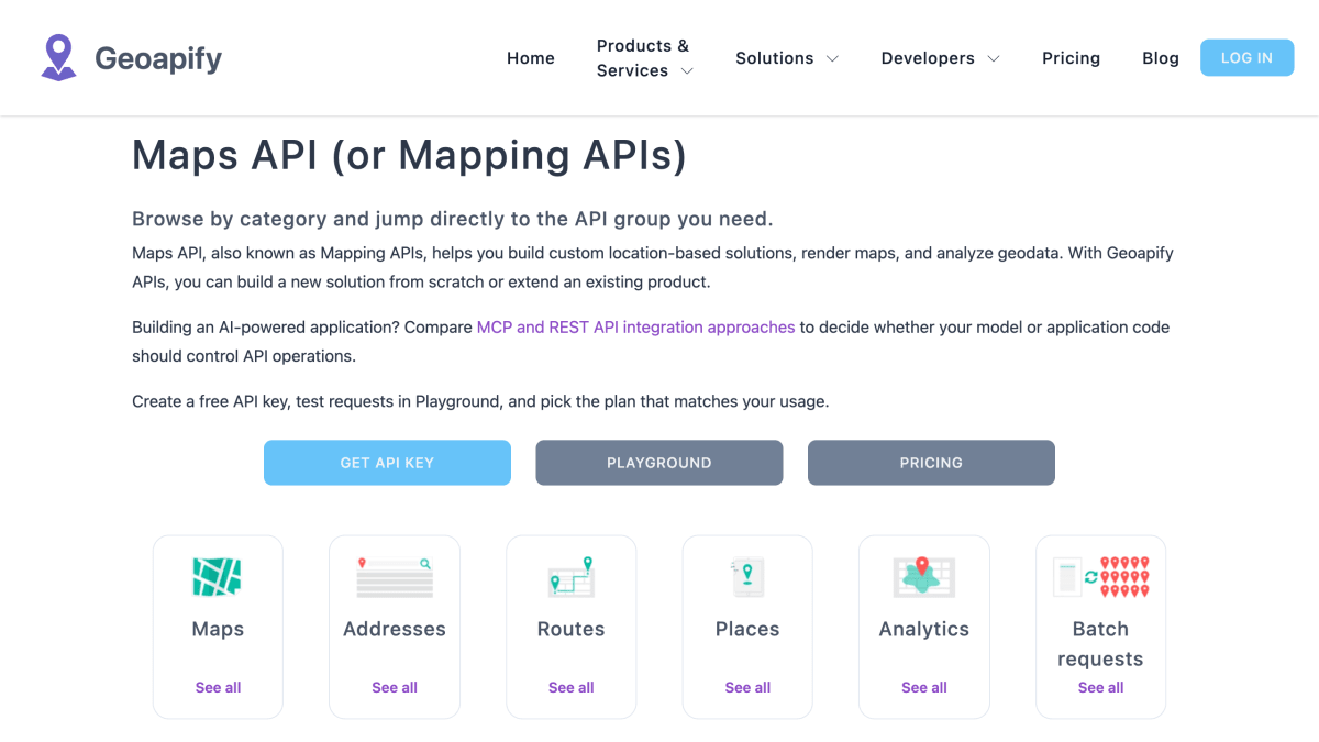
Geoapify provides a suite of location-based APIs covering mapping, geocoding, routing, places, analytics, and batch processing. The platform includes map tile rendering, static map generation, and marker icon creation for building interactive map interfaces. Address-related services convert addresses to coordinates and back, support autocomplete for address input, and resolve location by IP.
The routing group covers directions, travel-time and distance matrices, GPS track matching to roads, and multi-stop route optimization for logistics and dispatch use cases. Places APIs support point-of-interest search, place detail lookup, postcode queries, and administrative boundary retrieval. Analytics APIs calculate isochrones and isodistances for reachability analysis, along with elevation data for terrain workflows.
Access is via HTTP endpoints returning JSON, with a Playground for testing requests without registration, documentation for each API, and SDKs including npm packages for geocoder autocomplete, request rate limiting, and route planning. A Batch API supports asynchronous processing of high-volume jobs, including geocoding up to 1000 addresses at once. Pricing is credit-based, tied to which APIs are used and request volume, with a free tier available for evaluation and some production use.
Key features
- Convert addresses to coordinates and parse structured address fields (Geocoding API)
- Reverse geocode coordinates into nearby addresses and place details
- Address autocomplete with filters, biases, and type controls
- Compute routes, turn-by-turn directions, and route matrices between waypoints
- Optimize multi-stop routes and schedules for jobs, shipments, and agents
- Calculate isochrones and isodistances for travel-time and reachability analysis
Frequently asked questions
Is Geoapify free to use?
Yes, Geoapify includes a free usage tier for evaluation and many production scenarios. Current free limits are listed on the pricing page.
How much does Geoapify cost?
Pricing is credit-based and depends on which APIs you use and your request volume. A pricing calculator and plans show included credits and commercial options.
How do I get and use a Geoapify API key?
You sign up in MyProjects, create a project, and an API key is created automatically. The key is passed as the apiKey parameter in requests.
How does the Geoapify API work?
Geoapify provides HTTP endpoints that return JSON data, callable from websites, mobile apps, and backend services. An interactive Playground is available for request generation, and a Batch API exists for larger asynchronous workloads.
What is Geoapify used for?
It is used to build map-based products such as address search, delivery routing, travel-time analysis, place discovery, and logistics planning, using APIs like Geocoding, Routing, Route Planner, and Places.


SerpApi - Search API
SerpApi's Search API makes it easy and fast to scrape Google and other search engines.

Show your product to thousands of developers
· 100k monthly pageviews
· 7k newsletter subscribers
You might also like
Ducks Unlimited
GeocodingAPI explorer that gives a query URL with a JSON response of locations and cities.
FreeGeoIP
GeocodingFree geo ip information, no registration required. 15k/hour rate limit.
GeoApi
GeocodingFrench geographical data.
Geocod.io
GeocodingAddress geocoding / reverse geocoding in bulk.
Geocode.xyz
GeocodingProvides worldwide forward/reverse geocoding, batch geocoding and geoparsing.
Geocodify.com
GeocodingWorldwide geocoding, geoparsing and autocomplete for addresses.