Utah AGRC
Utah Web API for geocoding Utah addresses.
About Utah AGRC
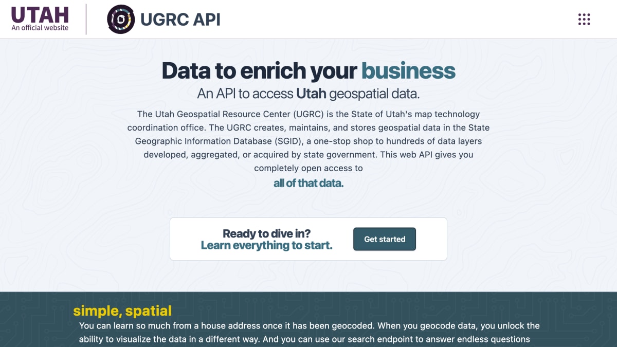
Utah AGRC provides a web API for accessing geospatial data maintained by the Utah Geospatial Resource Center (UGRC), the State of Utah's map technology coordination office. The API draws from the State Geographic Information Database (SGID), which aggregates over 300 layers of Utah-specific spatial data across more than 1,000,000 rows. It offers geocoding (converting addresses to geographic coordinates) and a search endpoint for querying the SGID's data layers, along with locally sourced data such as address reversals, delivery points, mileposts, and P.O. boxes.
The service is aimed at developers and organizations working with Utah-specific location data, including use cases like visualizing customer locations, analyzing spatial relationships, or cross-referencing addresses with events such as disease outbreaks or natural disasters. UGRC states its geocoding approach prioritizes accuracy, returning no match rather than an incorrect one.
Access to the API is open, free, and without restrictions, requiring a key that can be created and managed through a self-service portal.
Key features
- Geocoding of Utah addresses to geographic coordinates
- Search endpoint for querying over 1,000,000 rows of SGID spatial data across 300+ layers
- Address reversal lookups
- Delivery point, milepost, and P.O. Box data
- Mapping library integration
- Access to the State Geographic Information Database (SGID) with hundreds of Utah-specific data layers
Frequently asked questions
Is this API free to use?
Yes, it is described as open license, free, with no restrictions.
Do I need an API key?
Yes, the site provides self-service options to create and manage API keys.
What data does the API provide?
It provides access to the State Geographic Information Database (SGID), which includes hundreds of geospatial data layers maintained by the Utah Geospatial Resource Center.
Who is this API for?
It is for developers who need Utah-specific geospatial data, such as geocoding addresses or spatially analyzing location-based information.
What is the geocoding matching philosophy?
UGRC's geocoding approach favors returning no match over an incorrect match, aiming for the best match rates specifically for Utah addresses.


SerpApi - Search API
SerpApi's Search API makes it easy and fast to scrape Google and other search engines.

Show your product to thousands of developers
· 100k monthly pageviews
· 7k newsletter subscribers
You might also like
TomTom
GeocodingMaps, Directions, Places and Traffic APIs.
Uebermaps
GeocodingDiscover and share maps with friends.
US ZipCode
GeocodingValidate and append data for any US ZipCode.
ViaCep
GeocodingBrazil RESTful zip codes API.
What3Words
GeocodingThree words as rememberable and unique coordinates worldwide.
Yandex.Maps Geocoder
GeocodingUse geocoding to get an object's coordinates from its address.