Transport for Grenoble, France
Grenoble public transport.
About Transport for Grenoble, France
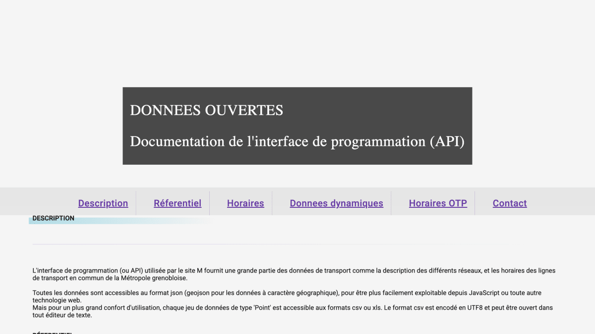
The API provides open data for public transport in the Grenoble metropolitan area (Metropole grenobloise), covering network descriptions, transit line schedules, and geographic reference data. Data is available in JSON and GeoJSON formats, with point-type datasets also offered in CSV and XLS. CSV files are UTF-8 encoded and can be opened in any text editor.
The reference data endpoints return point-type objects such as stops, mobility agencies, MetroVelo bike lockers and stations, ticket vending machines and dealers, park-and-ride and parking facilities, variable message signs, Citelib and Citelib by Ha:Mo stations, and other public landmarks, each located by WGS 84 GPS coordinates. Objects can be queried by type within a bounding box (bbox endpoint) or searched by name and type (findType endpoint), with multiple types requestable in a single call.
Additional endpoints list transit routes with their names, type, and color, optionally filtered by line code; find transit lines near a given GPS point within a configurable search radius; and return the geometry of transit line routes, either as GeoJSON coordinates or as encoded polylines. The API is intended for developers building applications that consume transit and mobility data for the Grenoble area, such as maps and route-planning tools, and is used internally by the mobilites-m.fr website and its mobile applications.
Key features
- Search point objects by name and type via findType endpoint
- List transit routes with descriptions (short/long name, type, color), filterable by line codes
- Find transit lines near a GPS coordinate within a configurable search radius
- Retrieve transit line geometries as GPS coordinate sequences or encoded polylines
Frequently asked questions
What data formats does the API return?
Data is available as JSON, with GeoJSON for geographic data; point-type datasets are also available as CSV (UTF-8 encoded) or XLS.
What coordinate system does the API use?
Locations are given as GPS coordinates in the WGS 84 system.
Who is this API for?
It's for developers building transit or mapping tools for the Grenoble metropolitan area (Métropole grenobloise), covering stops, lines, bike stations, and parking data.
Can I query multiple data types in a single request?
Yes, multiple types can be requested at once by separating them with commas.


SerpApi - Search API
SerpApi's Search API makes it easy and fast to scrape Google and other search engines.

Show your product to thousands of developers
· 100k monthly pageviews
· 7k newsletter subscribers
You might also like
Transport for Chicago, US
TransportationChicago Transit Authority (CTA).
Transport for Czech Republic
TransportationCzech transport API.
Transport for Finland
TransportationFinnish transport API.
Transport for Hessen, Germany
TransportationRMV API (Public Transport in Hessen).
Transport for Honolulu, US
TransportationHonolulu Transportation Information.
Transport for Lisbon, Portugal
TransportationData about buses routes, parking and traffic.