
IBGE
Aggregate services of IBGE (Brazilian Institute of Geography and Statistics).
About IBGE
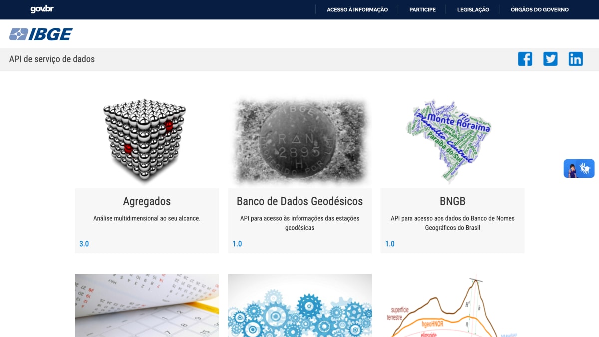
The IBGE API documentation portal provides access to a collection of data services published by Brazil's Instituto Brasileiro de Geografia e Estatística (national statistics and geography agency). It covers statistical, geographic, and geodesic data, including administrative divisions of Brazil, geographic meshes at various resolutions, economic activity classifications (CNAE), geodesic station data, coordinate transformation and GNSS post-processing tools, population name trends, country-level socioeconomic indicators, agricultural census and city data, and IBGE news releases and publications.
Each listed API is versioned independently, with services ranging from version 1.0 to 4.0. The portal serves as an index of these APIs rather than a single unified service, directing users to documentation for each individual endpoint.
This is intended for developers building applications that require official Brazilian government statistical, geographic, or geodesic data, such as tools working with census figures,地图ing/mesh data, economic classifications, or location-based services tied to Brazil's administrative boundaries.
Key features
- Access aggregated multidimensional statistical data via the Agregados API
- Query Brazil's administrative divisions through the Localidades API
- Retrieve geographic mesh/boundary files (Malhas Geográficas) in multiple resolutions and formats
- Look up name frequency statistics in Brazil via the Nomes API
- Access geodesic station and GNSS data (RBMC, RMPG, Banco de Dados Geodésicos)
- Convert coordinates to the SIRGAS2000 reference system via ProGriD
Frequently asked questions
What data does the IBGE API provide?
It provides access to Brazilian statistical, geographic, and geodesic data, including administrative divisions, censuses, geographic meshes, and demographic name trends.
Is there more than one API available?
Yes, IBGE offers many distinct APIs covering areas like Agregados, Localidades, Malhas Geográficas, Nomes, Países, Pesquisas, and geodesic services such as RBMC and ProGriD.
Who is this API for?
It is for developers who need official Brazilian government statistical, economic, or geographic data for their applications.
What versions are available for these APIs?
APIs are versioned individually, for example Agregados is at 3.0, Localidades at 1.0, and Malhas Geográficas spans versions 2.0, 3.0, and 4.0.


SerpApi - Search API
SerpApi's Search API makes it easy and fast to scrape Google and other search engines.

Show your product to thousands of developers
· 100k monthly pageviews
· 7k newsletter subscribers
You might also like
HackMyIP
GeocodingIP geolocation and ASN lookup with privacy/VPN scoring, no API key required.
HelloSalut
GeocodingGet hello translation following user language.
HERE Maps
GeocodingCreate/customize digital maps based on HERE Maps data.
IP 2 Country
GeocodingMap an IP to a country.
IP Address Details
GeocodingFind geolocation with ip address.
ip-api
GeocodingFind location with IP address or domain.