
CARTO
Location Information Prediction.
About CARTO
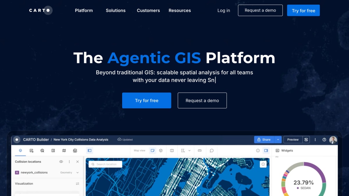
CARTO is a cloud-native geospatial information system (GIS) platform for spatial analysis, offering analytics, data visualization, AI agents, and app development tools within a single platform. It integrates directly with cloud data warehouses such as BigQuery, Google Cloud, AWS, Azure, Snowflake, Databricks, and Oracle, allowing data to remain in place without ETL processes. The platform includes a low-code analytics interface with drag-and-drop tools, over 100 pre-built analysis components with machine learning and AI integrations, and support for automation through APIs, AI agents, and MCP tools.
The platform supports visualization of large datasets, including billions of data points, and allows interaction with maps and dashboards through natural language. Its AI Agents feature lets users build custom agents and tools for decision-making, using their own models, endpoints, and cloud infrastructure. For application development, CARTO provides framework-agnostic tools that run within a data lakehouse environment and use deck.gl, WebGL, and GPU technology for rendering.
CARTO is used across industries including insurance, telecoms, financial services, retail, marketing and advertising, and transport and logistics, and by roles such as data analysts, data scientists, GIS professionals, and developers. Use cases mentioned include network deployment, catastrophe modeling, fraud detection, market analysis, environmental management, site selection, geomarketing, data monetization, IoT analytics, supply chain optimization, healthcare analytics, and territory planning.
Key features
- Drag-and-drop spatial analysis with 100+ ready-to-go analysis components and native ML/AI integrations
- Visualizes billions of data points in maps and dashboards
- Build custom AI Agents and tools for spatial decision-making, deployable via APIs and MCP tools
- Framework-agnostic app development with visualization powered by deck.gl, WebGL, and GPU technology
Frequently asked questions
What cloud platforms does CARTO integrate with?
CARTO integrates with Google Cloud, AWS, Azure, Snowflake, Databricks, and Oracle, keeping data in place without ETL.
Who is CARTO for?
CARTO is built for data analysts, data scientists, GIS professionals, and developers across industries like insurance, telecoms, retail, financial services, and logistics.
Does CARTO offer a free trial?
Yes, CARTO offers a free tier that users can try without a demo request.
Can I build custom AI tools with CARTO?
Yes, CARTO lets users build custom AI Agents and tools for end-to-end decision-making, deployable through APIs and MCP tools.


SerpApi - Search API
SerpApi's Search API makes it easy and fast to scrape Google and other search engines.

Show your product to thousands of developers
· 100k monthly pageviews
· 7k newsletter subscribers
You might also like
Black History Facts
Open DataContribute or search one of the largest black history fact databases on the web.
BotsArchive
Open DataJSON formatted details about Telegram Bots available in database.
Callook.info
Open DataUnited States ham radio callsigns.
CollegeScoreCard.ed.gov
Open DataData on higher education institutions in the United States.
CrawlGraph
Open DataBacklink and domain-link data from Common Crawl's open web graph.
DataStream
Open DataAn open access platform for sharing Canadian water quality data.